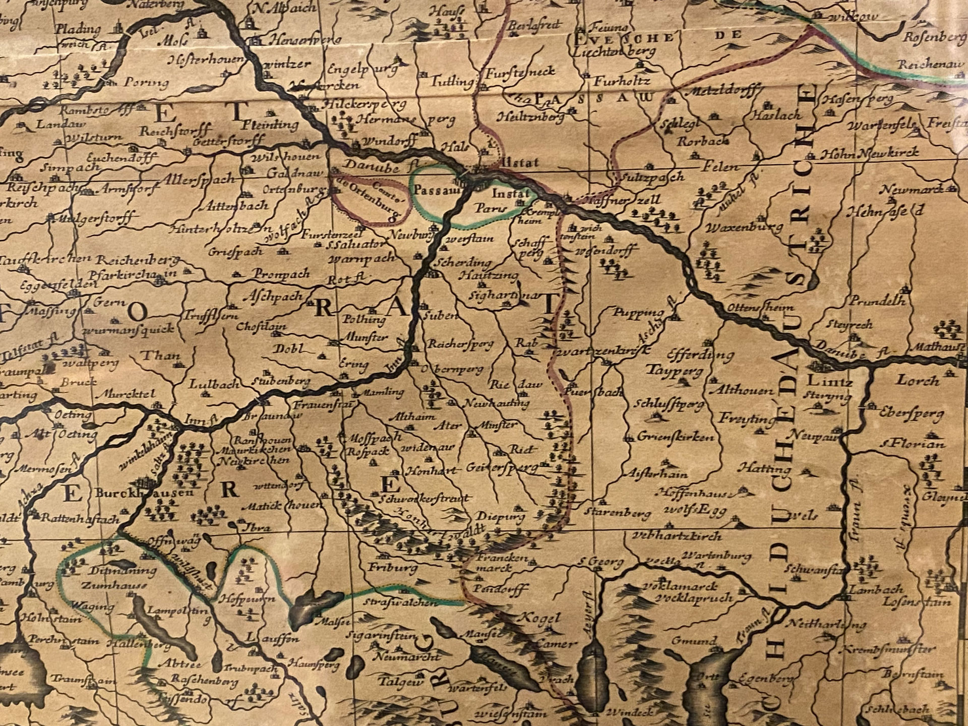
The 1692 map originated from a printing house in Paris. It shows the region of Bavaria, divided into all its autonomous territories. At that time, the Innviertel was part of the Duchy of Bavaria. It was bordered by the archbishopric of Salzburg to the south,
the Diocese of Passau to the north and the archbishopric of Austria to the East.
The border can be clearly seen running from Hafnerzell to Frankenmarkt.