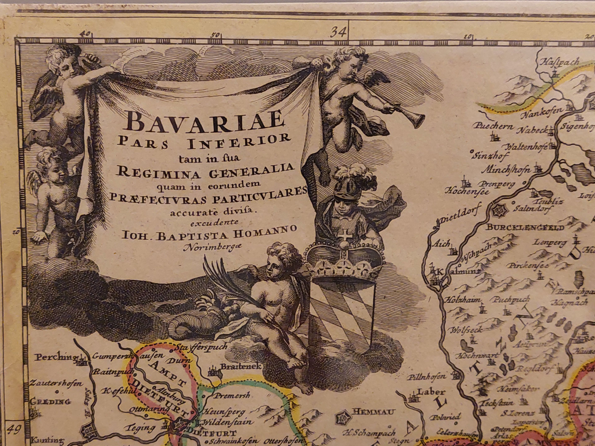
The “Bavariae Inferior” map
of 1720 originated from a printing house in Nuremberg. It shows the territories of Landshut, Straubing, Upper Bavaria, the Diocese of Passau, the independent municipality of Ortenburg and the Austrian territory of Neuburg, all in different colours. The Innviertel is identified as part of Upper Bavaria.
The border with the Archdutchy of Austria is clearly visible. Braunau and Schärding are shown as towns, Ried is a market town.
Bavarian Inn was ceded to Austria by the Treaty of Teschen which ended the war of the Austrian Succession between Austria and Prussia in 1779. The region became known as the “Innviertel”, the ”Inn Quarter”. Upper Austria therefore suddenly possessed five Quarters and so the two “Quarters” of Mühlviertel and Machlandviertel were amalgamated to become the “Mühlviertel“ – the “Mühl Quarter”.
In autumn 1779, Emperor Joseph II visited the new quarter. The Emperor wrote to his mother, Maria Theresia, about the impression that the state and its people had made on him:
“When one thinks of what might have been (for us), it is only a small matter. But in and of itself, this territory is well enough, and extraordinarily appropriate to Austria.”
What he meant by this was that Austria had not come off as well as it could have done from the long-awaited peace; but he seems content with the territory he had gained.
Emperor Joseph II also initiated the purchase of the territories of Obernberg and Vichtenstein, which had previously belonged to Passau.
Around 30 years later, territory changed hands again. Bavaria was allied with France in 1810, and under Napoleon, the Innviertel once again reverted to Bavaria.
By 1816, Napoleon was history and the Royal Bavarian Commission of Cessation was signed. The districts of Hausruckviertel and Innviertel, and the principality of Salzburg were ceded to His Majesty the Emperor of Austria. The document was signed by Bavarian King Maximilian Joseph and his Foreign Secretary Count Montgelas.